Exploring Versalles - 8 Things You Don’t Want to Miss
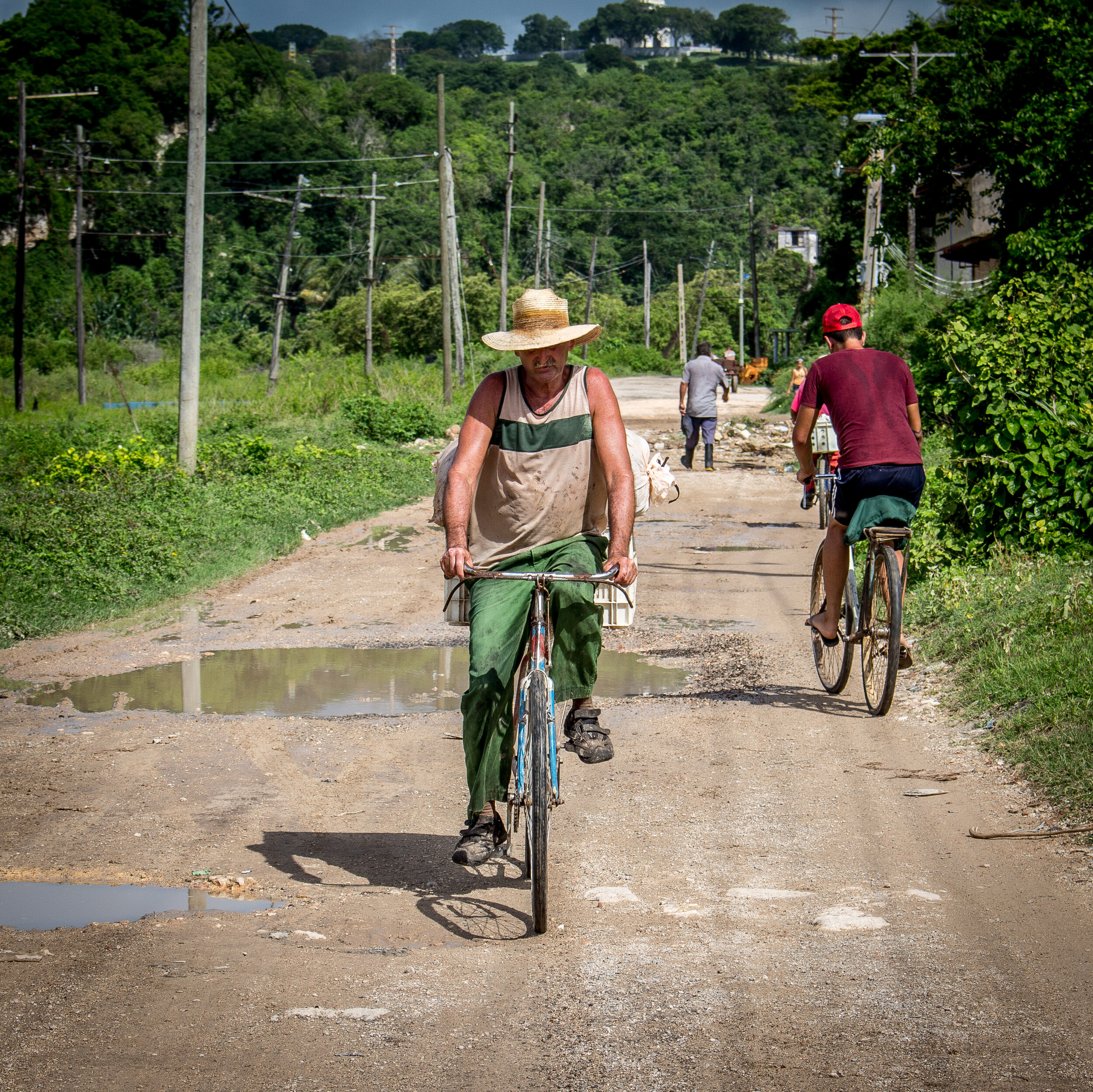
One of the original three districts of Matanzas, Versalles drapes over the side of a large mound of earth called Loma de la Cumbre, on the north side of the Bay.
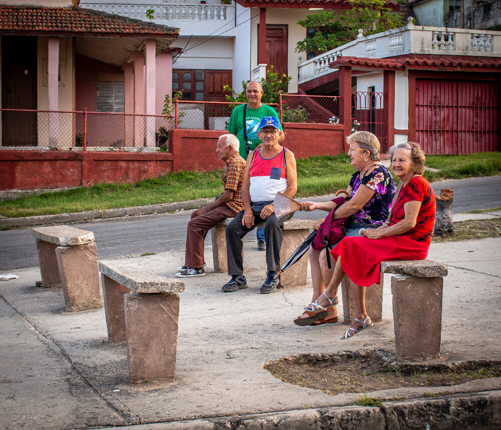
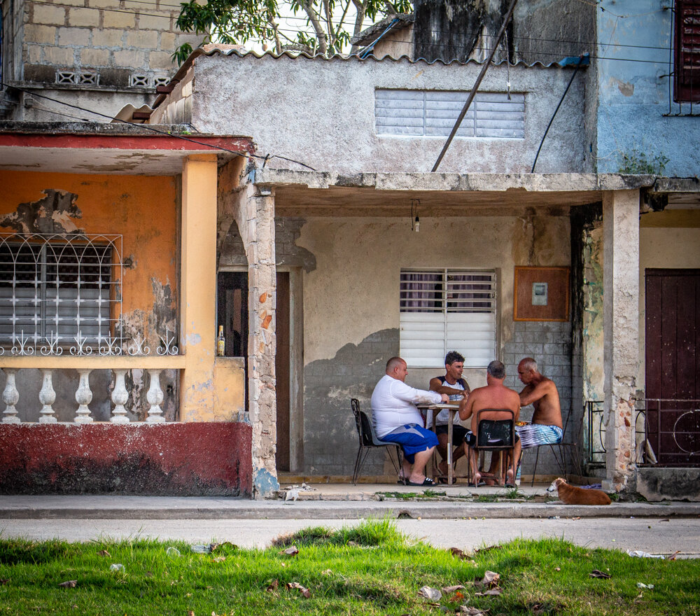
I love this neighborhood – for the views from top, for the interesting things to see on the way up and mostly for all of the compelling history packed into this relatively small area. It’s the perfect combination for a great day of exploring.
In 1693, the original settlement in Matanzas was concentrated in the central area, on a chunk of land sandwiched between Rio Yumurí and Rio San Juan. By the end of the 19th century, the city had sprawled north and south of the two rivers which dissect it today.
The area south of the San Juan became known as Pueblo Nuevo, and the section north of the Yumurí was eventually called Versalles.
The earliest inhabitants in the area were located on a ranch near the bay, in the area now referred to as ‘Chiquirrín’. Those people were later moved to the main part of the city, in order to keep them safe from any cannon fire at nearby Castillo de San Severino. When military strategies changed in the early 19th century, the area became populated again, being preferred by wealthy families because of the stunning views of the bay and the serenity of the location. It also became home to some of the French immigrants who fled Haiti after the Haitian Revolution in the early 1800’s. It didn’t officially become known as Versalles until 1850.
Puente de la Concordia
If you plan to explore this area, here is a list of some of the significant landmarks and features you won’t want to miss:
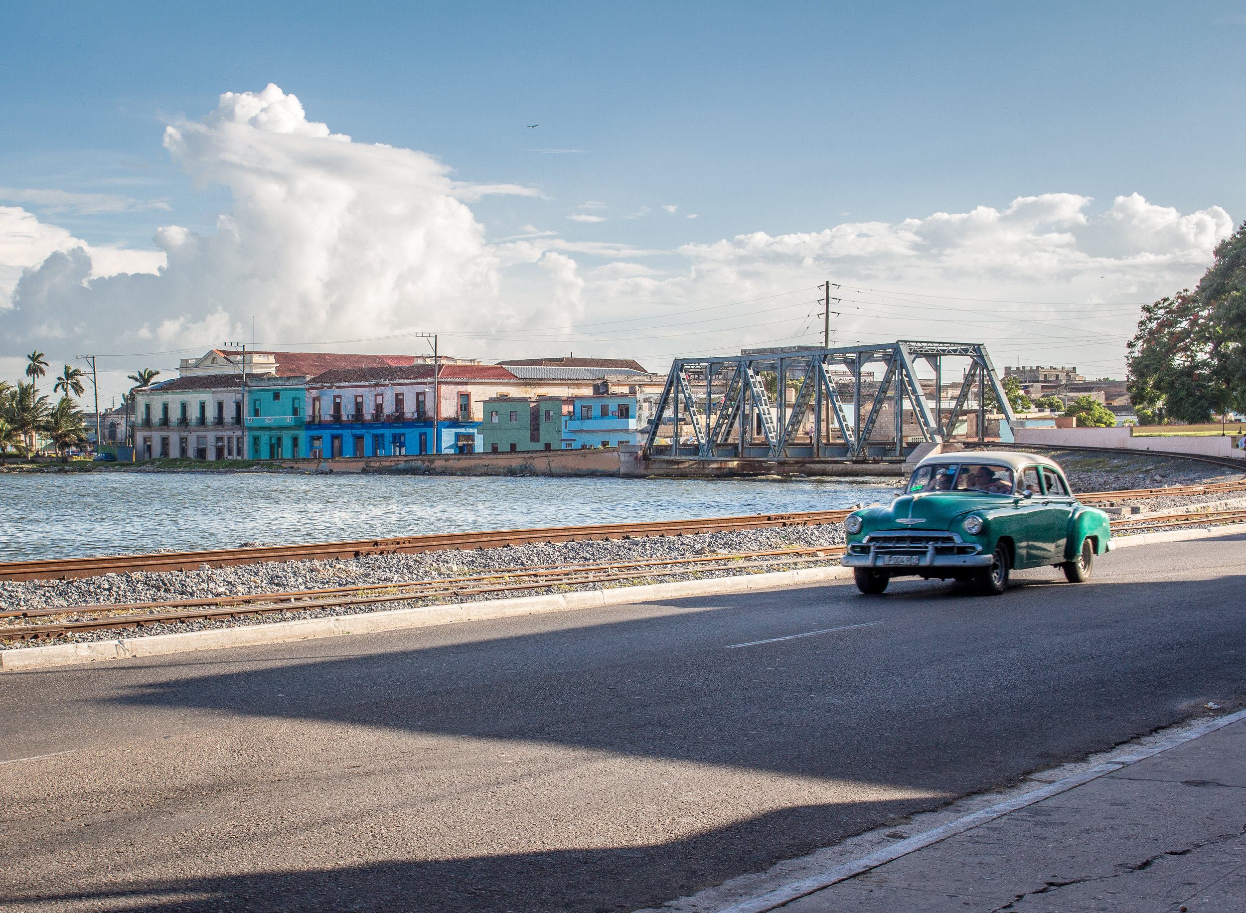
1. Puente de la Concordia was the first iron bridge constructed in the city. It was inaugurated in 1878 and was built to provide a permanent and reliable conduit from central Matanzas to Versalles over the Yumurí River. Her columns are one of the city’s most recognizable features and the bridge itself has become a symbol of Matanzas.
2. If it’s a Sunday morning and you start your tour early enough, you can be at the Calle Arostegui Street Market (between Calles Navia and Rieche) in time to blend with the locals. This is a great place for mingling, people-watching, and being in the midst of everyday life in action.
Calle Arostegui Street Market
3. Mártires de Goicuría is a former army barracks, originally named Santa Cristina Barracks, built in 1830. Several renovations and name-changes later, it became the site of a rebellion against the Batista regime in April 1956. That rebel attack was a failure and most of the group of revolutionaries were massacred on site. The building was converted to an elementary and secondary school in 1960, and was renamed in honor of those martyrs.
Mártires de Goicuría
4. La Cumbre is at the top of the hill, all the way at the end of Calle Santa Cecilia. You can stand at the top stair and look south, out over the city and Bay, and it will take your breath away. It’s a bit of a workout to get there, but locals who live in la Cumbre make that trek everyday to and from work, school and the market. It’s totally worth it for the view.
La Cumbre
Carolina Tree
5. On your way up Santa Cecilia, you’ll pass by a tiny park in front of the Provincial Hospital, where you’ll find a magnificent tree. Locals tell me it’s a ‘Carolina Tree’ whose beautiful red blooms fall onto the sidewalk making it treacherous to walk at times. Word on the street is that it’s probably 100+ years old. A scientist friend of mine tells me it’s likely a ‘Pseudobombax Ellipticum’ (perhaps they’re the same thing?). What I know for sure is that its gnarled, knobby trunk and mass of exposed roots remind me of something out of the ‘Legend of Sleepy Hollow’ story. It’s not spooky though - I think it may even be magical.
Iglesia Dan Pedro Apóstol
6. Another symbol of the city, Iglesia San Pedro Apóstol is an elegant neoclassic church designed by the same architect as Teatro Sauto - Danielle Dall’Aglio – and constructed between 1867 and 1870. Beautifully restored in 2005, her pink steeples rise so high that she’s like a beacon of sorts, making her easy to spot from a distance. I haven’t been inside this church yet, but I do know tours are available.
7. Although Hershey Station now stands idle, a casualty of Cuba’s crumbling infrastructure, the Hershey Train was a primary means of transportation for locals commuting between Matanzas and Casablanca, Havana. This electric railway was built in 1920 by sugar baron Milton S. Hershey, to service the sugar industry and to transport his workers. It eventually became a tourist attraction as well, for those wanting to experience local transit while travelling through the small towns and villages in the Yumurí Valley. The train itself still runs out of the station in Havana but it currently only comes partway through the Valley, at least until the tracks further east can be repaired. Even though this building is closed, it’s still an interesting area to wander around, including the dirt road that runs parallel to the tracks.
8. Castillo de San Severino is the absolute highlight of Versalles, and it’s a place you’ll want to stop for at least an hour. One of the very few structures still standing from the time the city was founded, it was built between 1693 and 1750 (enduring delays in construction between 1695 and 1737) to protect the Bay of Matanzas and aid in the defense of Havana. It was purposely destroyed in 1762 to prevent it from falling under control of the British, and was reconstructed between 1772 and 1789. It was used as an off-loading point for slaves, and in the 19th century it became a prison for those captured in the fight for independence from Spain. San Severino is included in the World Heritage Site of ‘Old Havana and its Fortifications’, and was declared a national monument in 1979. Today it is a museum not only honoring Matanzas’ military past, but also representing her significant role in the history of slavery as the Museo Nacional de la Ruta del Esclavo. It also has a gallery with AfroCuban art on display. I recommend taking a guide to assist with translation.
The map below should come in handy when you’re planning your route. Make sure to allow time for aimless wandering - you never know what you might discover on your own.
Enjoy!
